
Recently I have made a purchase. It cost me around $230. I bought a Garmin Dakota 20.
GPS systems have been haunting me ever since I decided to buy one. When I decide I'm going to buy something and that thing happens to be a little pricey, research must be done. Now all this research will be laid out on this blog. (Sorry for the great span of time in between blogs.)
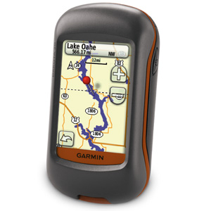 |
| Image taken from the Garmin website. |
What can a handheld GPS be used for?
1) Geocaching
2) Fishing
3) Mapping
4) Fitness stuff...
Since I'm not much of a fisher, we'll ignore that.
1) Geocaching is described by almost any news source as "a high tech treasure hunt".
Basically people hide things and post the global coordinates on the internet and other people with GPS systems take those coordinates and find the hidden things.
2) If someone else has something to add about GPS use with fishing leave a comment and I'll post it here.
3&4) On a lot of higher end consumer GPS units, information can be stored about which track/path you took and notes about different locations. I wanted to use my GPS for tracking bicycle rides and hikes.
Important Things for me:
3-axis compass. I'm a geologist and so I like to stop and look around every once in a while. A GPS that does not have a compass might wander from your position and not be sure which direction you are facing.
Topographic map capability. This type of map shows contour lines which indicate lines of the same elevation, they are very useful for mapping.
 |
| This is a topo of an area in Big Bend National Park. |
Color screen. I like color more than not color, plus I feel like it's easier to read.
 |
| Actual image from my GPS. |
I've used this GPS several times now and I love it. I haven't gotten to use it on any geologic assignments yet, but I'm excited to. I have used it to track many bike rides and walking routes, as well as to find geocaches (I have 19 finds so far.).
Again I apologize for the delay of posts the last half of summer I was occupied with a physics course and I didn't have time until relatively recently to write a blog.
-Abby
Huzzah! Isnt Geocaching great? :D
ReplyDeleteAnd you can use a GPS for fishing by getting charts of lakes, rivers, and other bodies of water, showing depths and underwater topography and bathymetry.
I personally have a DeLorme.
I think GPS units are great!
Yes Cam geocaching is great!
ReplyDeleteI don't fish at all so I skipped talking about that, thanks for filling in the gap. :) I thought about getting a DeLorme, but I settled on a refurbished Garmin instead. School starts tomorrow! See you there!